Here's what most analysts miss about coastal search and rescue: the limiting factor was never the boat or the helicopter. It was time-on-station over open water, and that's a fundamentally different problem than the one most procurement teams are trying to solve.
A vessel capsizes off Cape Cod. Two fishermen in the water. Weather moving in. The search perimeter is expanding every minute, and the window for a live recovery is closing faster than any ground team can cover nautical miles. That's the scenario hybrid airframes were built for, not the calm-day demo, not the press release photo.
The hybrid advantage in coastal environments
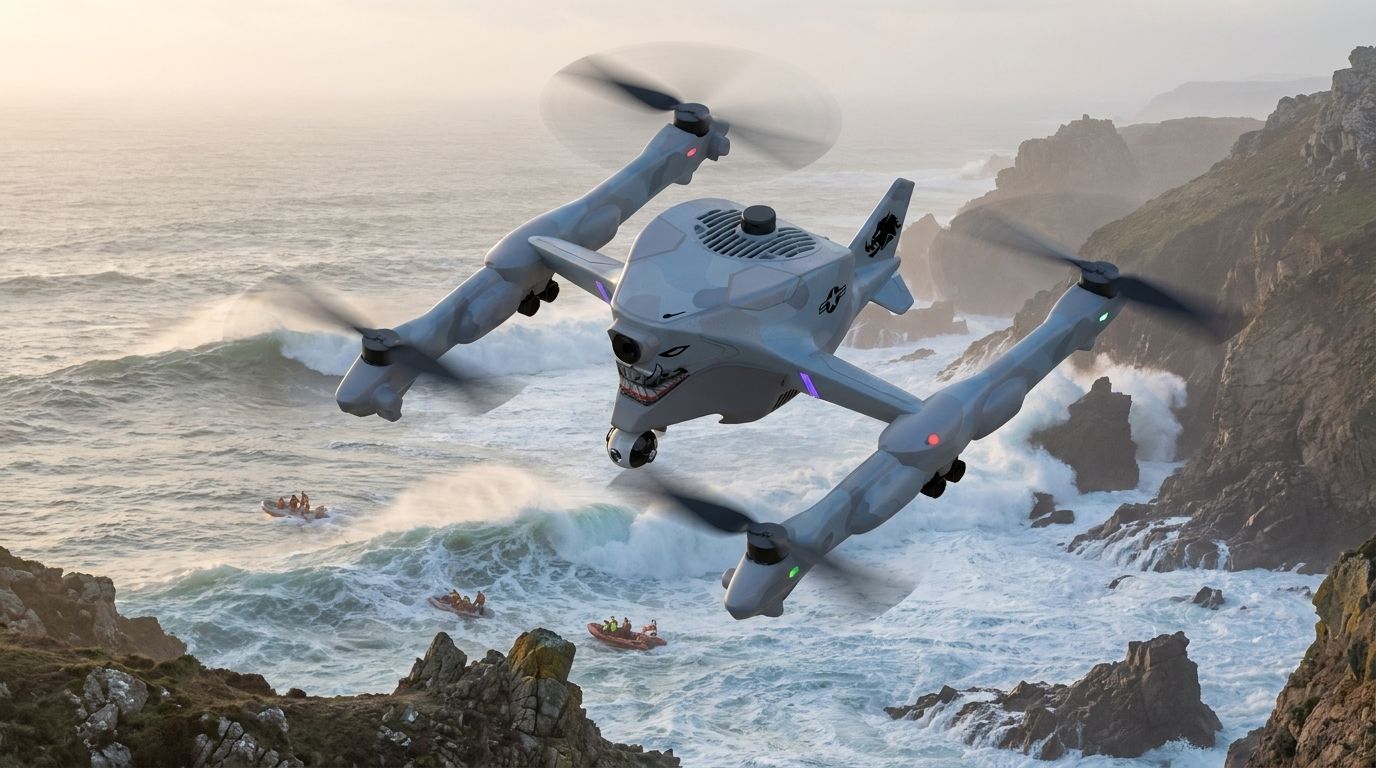
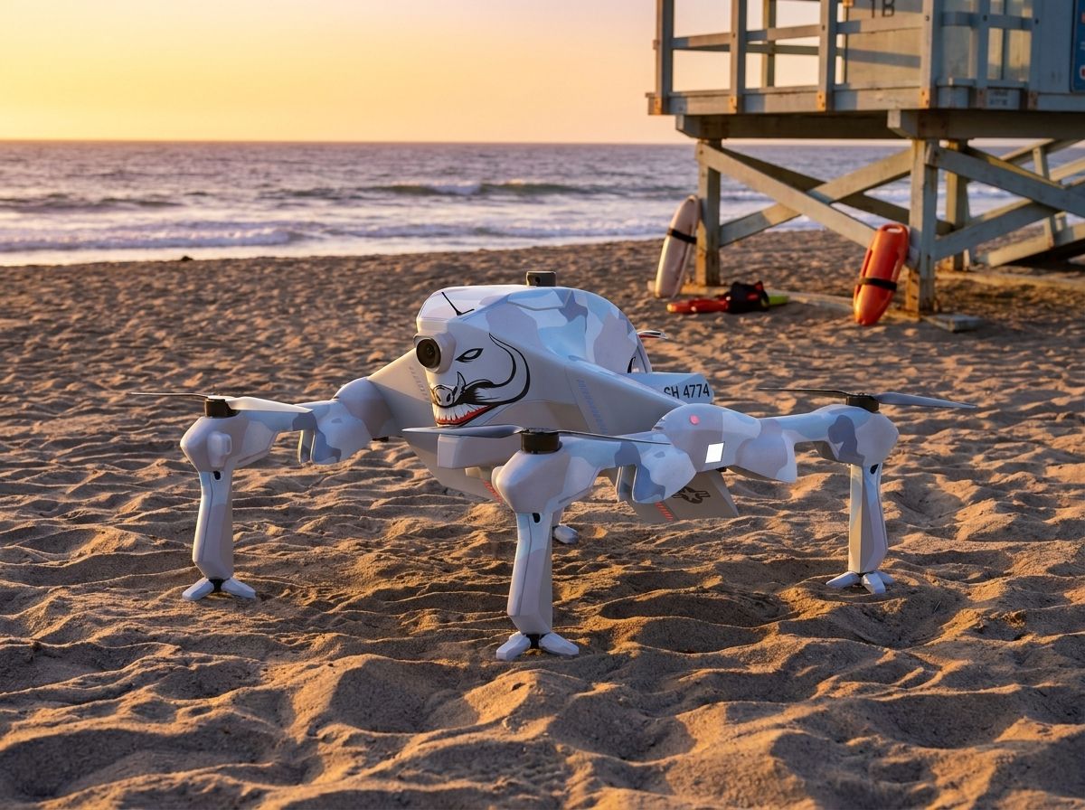
Hybrid drones carry a dual capability that matters most when conditions deteriorate. The ability to transition between vertical take-off and landing (VTOL) and sustained horizontal flight means a single platform can launch from a boat deck, a beach access road, or a parking lot, then cover coastline that would take a boat crew hours to sweep.
That's not a marginal improvement. It changes the geometry of the search.
During a mission off Cape Cod, a hybrid drone traversed a challenging stretch of coastline after a storm, capturing real-time aerial footage and thermal imagery that guided surface teams directly to the missing fishermen. The search area shrank. The recovery window held. Both men were found.
Increased operational range and endurance
Here's the part most people miss: endurance over open water isn't an aviation metric. It's a probability metric. Every additional minute a sensor-equipped airframe holds station over a search zone is another pass of the probability grid, another thermal signature checked, another debris field catalogued.
After Hurricane Laura in 2020, hybrid drones flew over flooded sections of the Louisiana coast, delivering continuous damage assessment when ground access was gone and boat access was dangerous. The value wasn't the footage. It was the unbroken operational presence while conditions were still too unstable for personnel.
The operational range of hybrid platforms can exceed tens of kilometers on a single charge or fuel load. In at least one joint operation between the U.S. Coast Guard and local agencies, a hybrid drone covered more than 50 square miles in a single flight. Compare that to the DJI Matrice 350 RTK, which offers up to 55 minutes of flight time and a 2.7 kg payload - a capable multirotor, but one that would require multiple sorties and repositioning to cover the same area. For a search zone that keeps growing, that repositioning time is not recoverable.
Advanced sensor integration for enhanced detection
The airframe is the platform. The sensor is the mission. And the mistake the industry keeps making is speccing the sensor fit around what the airframe can carry at full battery, rather than what it needs to carry at the end of a two-hour overwater leg when margins are thin and the target is still unlocated.
In 2021, a hybrid drone carrying thermal imaging located a missing swimmer off Malibu within minutes. The thermal sensor read body heat against the water surface, something a visual camera in fading light cannot do reliably. Ground teams covering the same shoreline on foot would have needed significantly longer to search the same area.
LiDAR integration adds another layer. Three-dimensional coastal terrain mapping gives incident commanders a working picture of shoreline geometry - coves, rock formations, drift patterns - that flat aerial photography doesn't capture. So the decision about where to commit boat crews stops being a guess and starts being a calculation.
Cost-effective solutions for resource-constrained agencies
Budgets are real constraints. A coastal search-and-rescue operation that runs multiple boat sorties, a helicopter, and overtime for a full crew is not cheap, and most county-level agencies are making those calls against a fixed annual line item.
During a 2021 search for a missing vessel off New Jersey, the New Jersey State Police used hybrid drones to reduce the number of boats and personnel needed on the water. The drone covered the aerial surveillance role while surface assets concentrated on recovery. The vessel was located. The operation came in under the resource ceiling that would have been required for a traditional multi-asset search.
And there's a second cost that doesn't show up in the budget spreadsheet. Sending personnel into high-sea conditions to search an area a drone can cover from altitude carries its own casualty risk. Hybrid platforms let agencies hold people back for the direct-rescue phase, which is where human presence is irreplaceable, rather than burning them on the grid-search phase, where it isn't.
Training and operational considerations
Here's the thing: the platform is only as effective as the operator running it, and coastal SAR is an unforgiving environment to learn on. Wind shear off the water, salt spray, rapidly shifting visibility, a command structure that may have never integrated drone assets before. None of that gets resolved by handing someone a controller.
The Coast Guard's joint training exercises with California rescue teams are the right model. Simulated rescue operations using hybrid drones under time pressure, with real incident commanders in the loop, build the muscle memory that matters when the actual call comes in at 0200 with a storm on the radar. The 2022 training program that used live hybrid drone operations in simulated scenarios (not tabletop, actual flight ops) is the template other regional agencies should be pulling from.
Ongoing training matters too, because the sensor payloads are evolving faster than the airframes. A team that learned the platform two years ago may not know the current thermal suite's detection floor, and that gap has operational consequences.
The future of hybrid drones in coastal rescue
Autonomous search patterns are coming. AI-assisted target detection is already in development across multiple programs. The near-term implication for coastal SAR is a hybrid airframe that can execute a probability-of-detection grid without requiring a dedicated pilot to manage the flight path, freeing the operator to focus on the sensor feed and the command net simultaneously.
Enhanced communication relay capability is the other near-term development to watch. A hybrid drone holding station 15 kilometers offshore can function as a communications bridge between surface assets and the incident command post, which in a fragmented coastal environment with rocky terrain or distance degrading radio signals is not a secondary feature. It's a force multiplier on top of the sensor payload.
Once you frame it this way, the hybrid drone stops being a search tool and starts being a mobile command node with a sensor suite attached.
FAQ
How do hybrid drones enhance search and rescue operations?
Hybrid drones combine VTOL launch capability with fixed-wing endurance, allowing a single platform to reach remote coastal areas quickly and hold station long enough to conduct systematic grid searches. They provide real-time sensor data that improves situational awareness and compresses the time between initial search and confirmed location.
What types of sensors are typically used in hybrid drones for coastal rescue?
Common sensor payloads include high-resolution EO cameras, thermal imaging systems for heat-signature detection, and LiDAR for three-dimensional terrain mapping. Thermal sensors are particularly effective for locating persons in the water under low-light or deteriorating visibility conditions.
Are hybrid drones cost-effective for first responder agencies?
They reduce operational costs by consolidating the aerial surveillance function into a single asset, cutting the number of boat sorties and personnel hours required for grid searches. For resource-constrained agencies, that efficiency isn't a convenience, it's what makes extended search operations financially executable.
What training is required for personnel operating hybrid drones?
Operators need proficiency in flight operations, sensor management, and data interpretation, plus integration into the incident command structure. Coastal environments add complexity: salt exposure, wind shear, and low-light operations all require scenario-specific training, not just platform certification.
What advancements can we expect in hybrid drone technology for rescue missions?
Near-term: AI-assisted autonomous search patterns, improved target-detection algorithms, and communication relay capability. The trajectory is toward platforms that handle the navigation layer independently, letting operators concentrate on the decision layer.
The airframe gets you over the water. What you do with the time-on-station is the mission. If the aircraft can't stay over the work, the work doesn't get done.